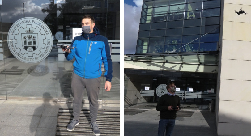
Using an unmanned aerial vehicle (UAV) equipped with a GPS locator and performing a flight along a given route (automatically or manually controlled), we locate abandoned waste in a given area. The extension of GPS data with a high-resolution vision system provides a highly accurate location. The observation from above and the ability to quick, unlimited movement of the UAV make the map obtained in a very short time. The designated waste location points can be transferred to a cleaning team or an autonomous robot, additionally planning their route so as to minimize cleaning time and workload.
We use the DJI Mavic Air as an Unmanned Aerial Vehicle that captures the image and provides sensor data.
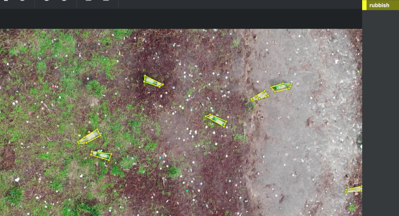
Current algorithms need photos with annotations and the only option is to do them by a human.
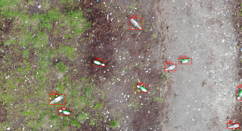
We use object detection algorithms that are not only accurate but also computationally effective.
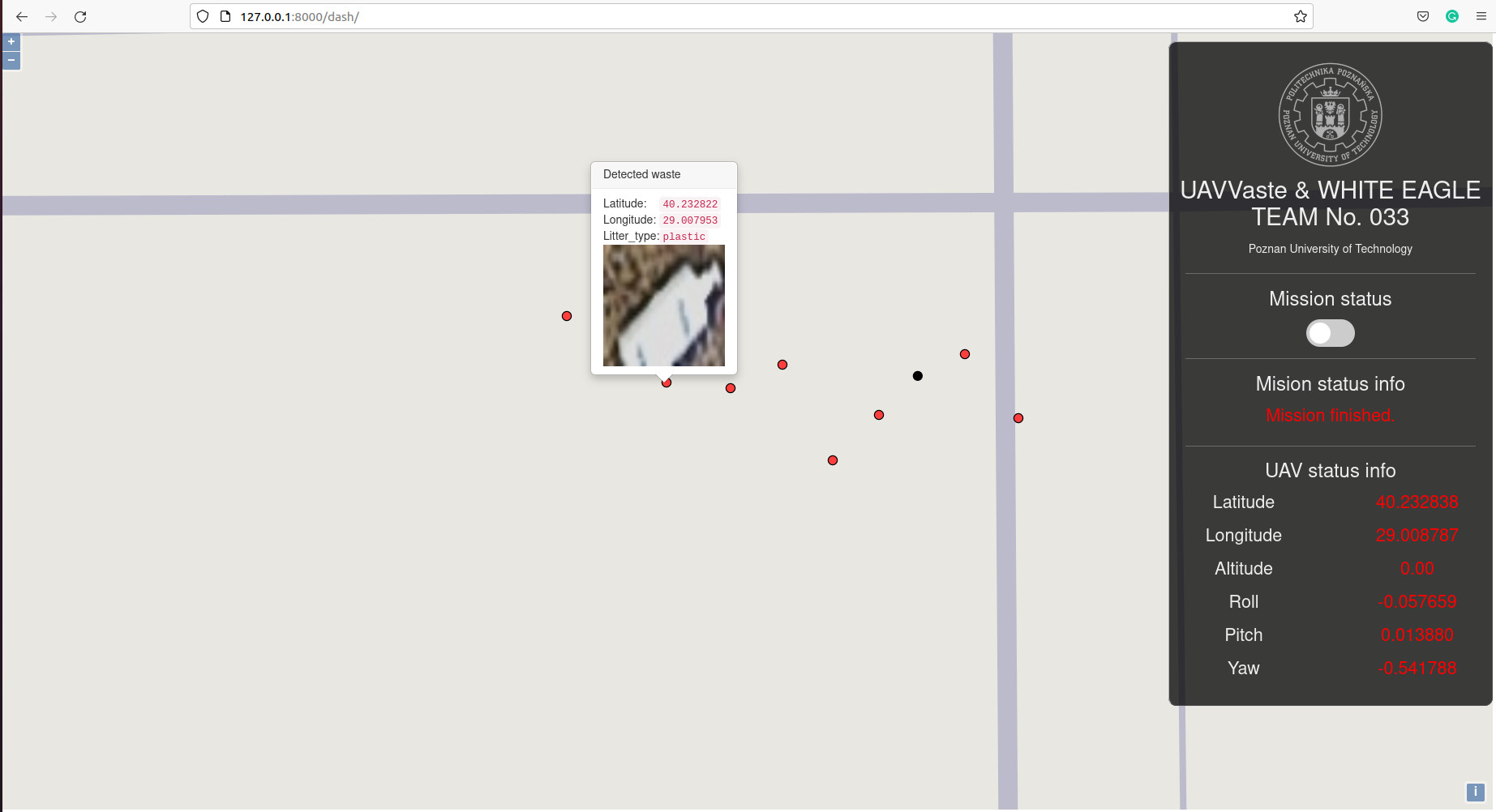
We process GPS data and use vision systems to improve accuracy.
We provide a detailed map with marked rubbish. Perfect for a cleaning robot!
The UAVVaste dataset consists to date of 772 images and 3716 annotations. The main motivation for creation of the dataset was the lack of domain-specific data. The datasets that are widely used for object detection evaluation benchmarking. The dataset is made publicly available and is intended to be expanded.
@Article{rs13050965,
AUTHOR = {Kraft, Marek and Piechocki, Mateusz and Ptak, Bartosz and Walas, Krzysztof},
TITLE = {Autonomous, Onboard Vision-Based Trash and Litter Detection in Low Altitude Aerial Images Collected by an Unmanned Aerial Vehicle},
JOURNAL = {Remote Sensing},
VOLUME = {13},
YEAR = {2021},
NUMBER = {5},
ARTICLE-NUMBER = {965},
URL = {https://www.mdpi.com/2072-4292/13/5/965},
ISSN = {2072-4292},
DOI = {10.3390/rs13050965}
}
Award
in the category of Technological Innovation
during Eco-Innovators 2021
3rd
place on Teknofest 2021 in the Free UAV mission
category, Yunuseli Airport Bursa
8th
place on EKOinnowatorzy 2020 in the EKOinnovative Student Project
category, online